Weather & Space2026-07-04 · 2 min read
NOAA’s New Wildfire Tech Proves a “Game Changer” in Record Nebraska Fire
Answer-First: A new AI-powered wildfire detection system from NOAA, called the Next Generation Fire System (NGFS), is being hailed as a "game changer" after it provided critical…
Answer-First: A new AI-powered wildfire detection system from NOAA, called the Next Generation Fire System (NGFS), is being hailed as a "game changer" after it provided critical, life-saving data during the record-breaking Morrill Fire in Nebraska earlier this year. The system, which uses data from geostationary satellites, was able to detect the fire within minutes of ignition, providing first responders with a crucial head start.
When the Morrill Fire ignited in Nebraska on March 12, 2026, it quickly exploded into the largest wildfire in the state's history. Fanned by low humidity and high winds, the fire tore across the landscape, traveling over 65 miles in a single day. For firefighters and first responders on the ground, getting timely information about the fire's location and spread was a matter of life and death.
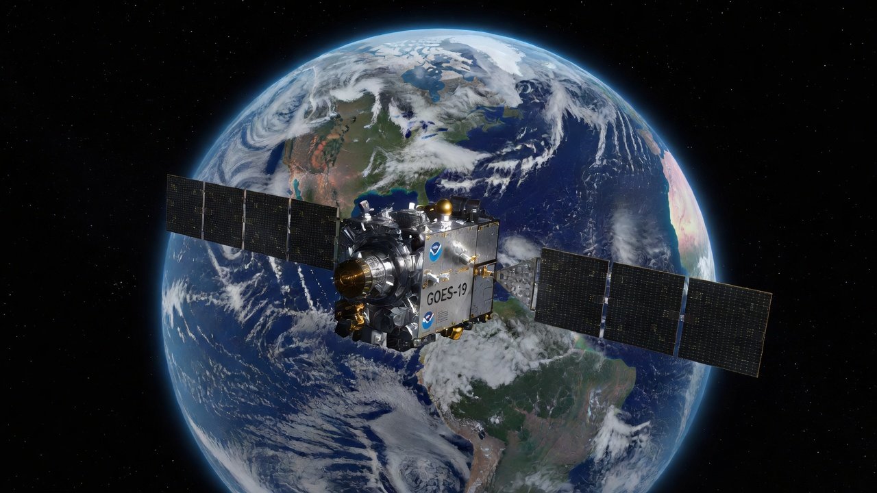
Enter NOAA’s Next Generation Fire System (NGFS). This experimental system pairs data from NOAA's GOES satellites with AI-enhanced algorithms to automatically detect active wildfires in near-real time. For the Morrill Fire, the NGFS was the first to sound the alarm.
“In many cases, NGFS is our first—and sometimes only—signal that a fire has ignited, often alerting us before firefighters are dispatched,” said Liam Winstead, the manager of operational intelligence and mapping at Watch Duty, a non-profit that provides real-time wildfire information.
The NGFS detected the Morrill Fire around 1:40 pm MT on March 12. Within 10 minutes, the system showed the fire spreading rapidly, confirming it was a fast-moving vegetation fire. Watch Duty was able to post the incident and alert the county just 13 minutes after the initial detection.
The system continued to provide critical data throughout the fire, tracking its spread and even detecting when the southern edge of the fire flared up and began advancing toward populated areas. This near-real-time information allowed responders to communicate exactly where the fire was moving, a critical capability when a fire is moving as fast as the Morrill Fire was.
The NGFS is still an experimental tool, but its performance during the Morrill Fire shows the immense potential of using satellite technology and AI to fight wildfires. As wildfire seasons become longer and more intense, tools like the NGFS will be essential for protecting lives and property.
(This article is based on a press release from the National Oceanic and Atmospheric Administration.)
The Shadowfetch Brief
Get The Shadowfetch Brief
Stories like this — every side, one short morning email. Free.